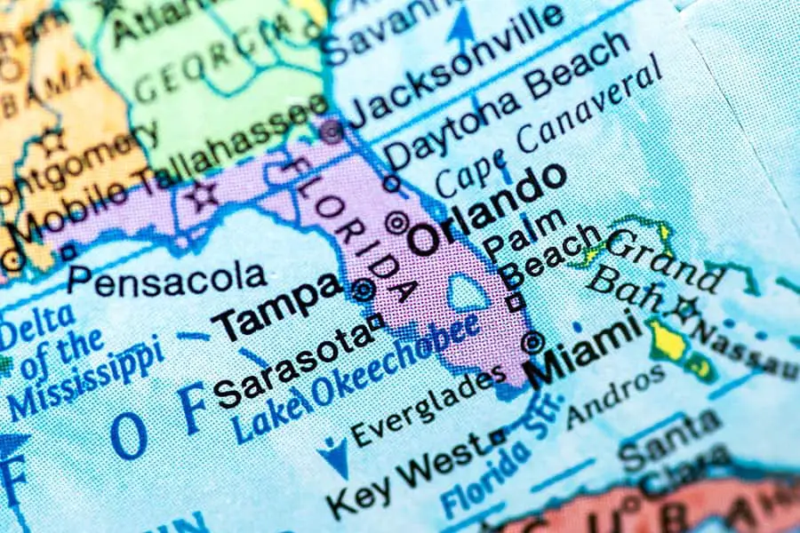
Florida is a humongous state, encompassing about 65,758 square miles! And the Sunshine State is well-known for its sandy beaches, aquatic recreation, and long, winding coastline. But does Florida have the longest coastline?
Florida has the longest coastline of the lower 48 states, boasting approximately 1,350 miles of coastline. However, Alaska has the longest coastline of any state, with about 6,640 miles. In addition, Florida also has the longest Atlantic Ocean coastline of any eastern state.
So what is the difference between coastline and shoreline? Does Florida have the longest Atlantic coastline? Which beach has the longest coastline, and how long is America’s East Coast? You will discover the answers to these coastline questions and more in the following sections.
Florida’s Coastline: A Shore Thing
The terms “coastline” and “shoreline” are often used interchangeably, but they have different meanings. The coastline of a place is defined as the boundary between the coast and the shore. In other words, a coastline is a big-picture view of the approximate line between the land and the sea. On the other hand, a shoreline is an ever-changing line that marks the specific place where the water and shore meet.
Coastlines are notoriously difficult to describe in detail, and this is a problem that geologists and other earth scientists have had to contend with for centuries. Coastlines follow a pattern known as a fractal curve, which is a fancy way of saying that they are irregularly shaped on both large and small scales.
Think about a coastal area like Cedar Key. When you look at it very closely, the coastline near Cedar Key is very irregular in shape. Cedar Key sticks out into the Gulf of Mexico, almost on a promontory. If you travel north from Tampa Bay toward Cedar Key, the coastline wanders east and west while generally heading north, with many abrupt changes in the water depth and the direction and shape of the landmass.
Zooming in even closer, you can see that the closer you get, the less regular the shapes are, and this is made even more complicated by the presence of small islands, estuaries, inlets, coves, harbors, and other features of the coastline. With so much irregularity, coastlines can be very hard to measure with any sort of accuracy.
Further complicating things are geological-scale events like tides. So when the tide comes in or goes out, the shapes and contours of the coastline change. Other factors like coastal erosion, plate tectonics, major weather events, changes in climate patterns, and the deposition of sediments also affect coastlines over time.
So while it might seem like a simple task to draw a line around the coast of a place, doing so with scientific precision is surprisingly challenging.
Because of all of this, scientists and governments have agreed that coastlines are generally considered to be static. The coastline of a place is unlikely to change dramatically, unless there is some kind of catastrophic geological or political event.
Even as Florida’s coastline changes subtly from day to day due to erosion, tides, and other forces of nature, the generally agreed-upon boundaries of the coastline remain static. So how long exactly is Florida’s coastline?
Florida’s coastline runs a whopping 1,350 miles from one end to another! To put that number in perspective, it’s about the same distance as you’d have to drive to go from Miami, Florida, to Fort Worth, Texas. If you were to try and walk that distance, it would take you about 450 hours of walking at an average pace. If you were to try and sail around the entire coastline of Florida, it would take you about 169 hours in an average sailboat – that’s seven days of full-time sailing or three weeks of sailing 8 hours a day!
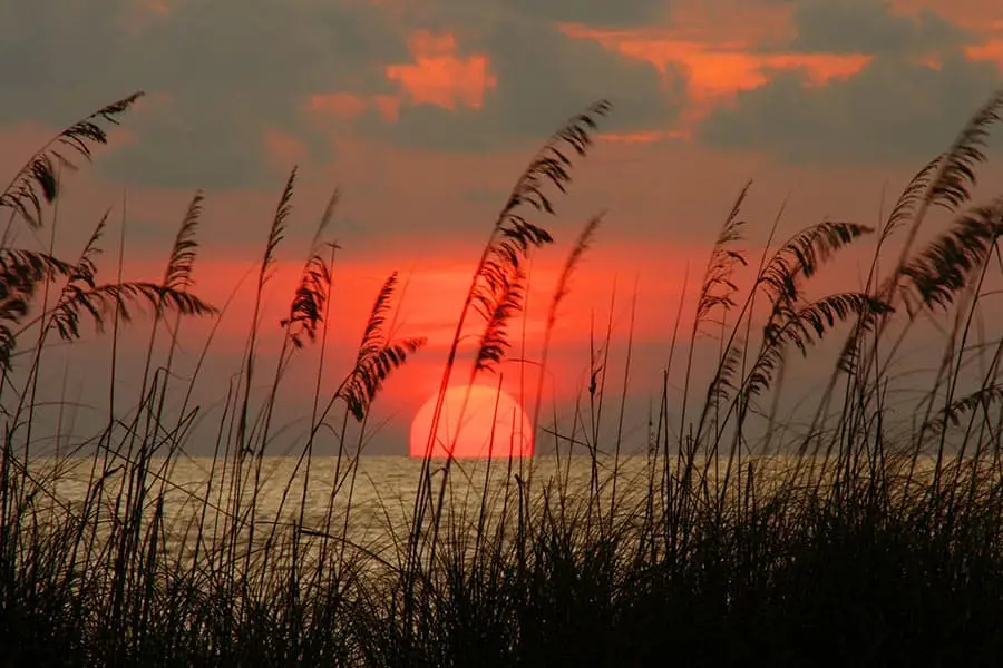
Florida’s coastline is impressive, but so is the shoreline. While the coastline is considered static, the shoreline is very granular and ever-changing. Shorelines change minute to minute with the tides, erosion, and other forces of nature. If you go to the beach and sit near the water, you can see the shoreline change as the waves and wind wash over the beach.
As if this wasn’t complicated enough, shoreline boundaries are also affected by things like rivers, estuaries, inlets, harbors, and bays. For example, where does the shoreline end and the land begin in an estuary or a marsh? Questions like these can rapidly become highly complicated, and the deeper you dive, the more complicated it gets.
With that in mind, we’ll turn to the experts to get an idea of how long Florida’s shoreline is. According to the National Oceanic and Atmospheric Administration (NOAA), Florida has about 8,436 miles of shoreline. That is quite a long walk along the beach – if you were to walk every inch of this shoreline, it would take you about 88 24-hour days of walking at a 15-minute-mile pace. If you unspooled Florida’s shoreline into a straight line, it would be more than ⅓ the circumference of the whole earth!
Phenomenal Florida Fun Fact: Florida is home to America’s oldest Atlantic seaport. While some cities like Gloucester might claim to have America’s oldest ports, Spanish sailors landed in St. Augustine in 1565, 58 years before the English landed in Gloucester.
Other Posts of Interest
- Can You Boat Across Florida?
- Are There Sharks In Tampa Bay?
- Why Does Florida Have So Many Canals?
- Does Florida Have Bayous?
Does Florida Have More Coastline than California?
California is a long state. San Diego and Crescent City are worlds apart from one another, but both of them are still part of the Golden State. You can drive all day and still be in California. It would follow that California has a very long coastline, perhaps even longer than Floridas. Is this true?
While California is a large state with a long coastline, California’s coastline is much shorter than Florida’s, clocking in at only 850 miles. On the other hand, Florida boasts 1,350 miles of sprawling coastline, beginning near Jacksonville and wrapping around the peninsula and the keys before heading back up the Gulf coast to the panhandle. So, all told, Florida has about 510 more miles of coastline than California!
Does Florida Have the Longest Atlantic Coastline?
Florida has about 400 miles of gorgeous Atlantic coastline. Some Atlantic states – notably Maine, has about 228 miles of stunning Atlantic coastline. And while there are many beautiful beaches and coastal places in every Atlantic state, Florida’s Atlantic coastline is the longest of them all.
However, in the spirit of fairness, we will recognize that Maine does have a longer Atlantic shoreline than Florida. According to NOAA, Florida’s Atlantic shoreline runs about 3,341 miles in length. Maine, which sports many fjords and sounds, is estimated to have about 3,478 miles of shoreline.
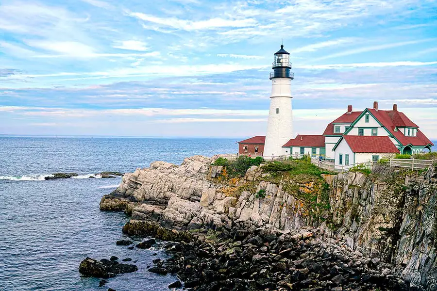
While we Floridians can humbly acknowledge that the Pine Tree State has more shoreline than we do, and that there is a unique beauty to New England’s rocky shores, we like our beaches better since we never have to shovel our way to our favorite beach spots.
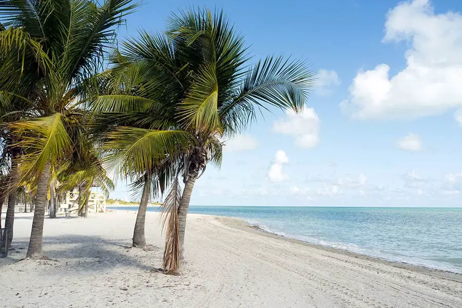
Which Florida Beach Has the Longest Coastline?
Beach-by-beach measurements of coastline are hard to come by. However, in the case of long, straight, sandy beaches, shoreline length can be a good placeholder. And Florida does have some long beaches! For example, Miami Beach offers beachgoers and sun worshippers 9 miles of beach, and Daytona Beach boasts 23 miles of shimmering sands.
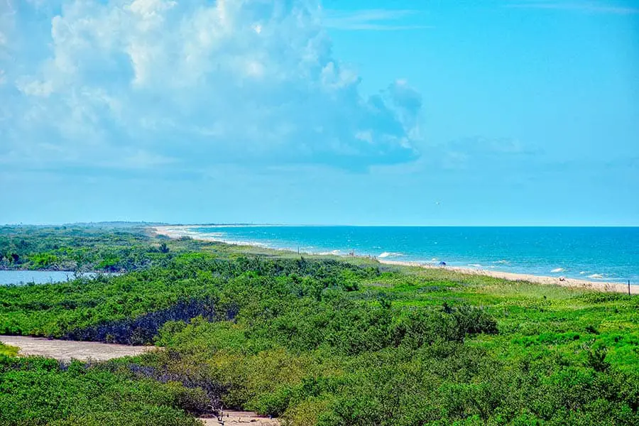
However, the longest beach in Florida is the Canaveral National Seashore, located near Cape Canaveral. The Canaveral National Seashore has about 24 miles of coastline, making it the longest beach in Florida! By comparison, the sprawling white sands of the ever-popular Clearwater Beach stretch only about 3 miles.
How Long is the East Coast of the US?
The eastern coastline of the United States totals approximately 2,069 miles from the far-northern hamlet of Lubec, Maine, to the sunny shores of Key West. And while all of America’s east coast states have something unique to offer, Florida has a certain unique ambiance that people just love.
A fun way to see Florida’s beautiful Atlantic coastline is to hop onto U.S. Route 1 in Key West and cruise it clear up to North Florida. U.S. 1 hugs the Florida coastline all the way through the state and offers drivers a different way of seeing the state than more heavily traveled highways such as I-95. In addition, U.S. 1 passes through many fascinating cities, like St. Augustine and Cape Canaveral, that are well worth a stop for the curious-minded.
America’s lengthy Atlantic coastline winds in and out of coves, estuaries, beaches, marshes, and other places where the land meets the water. If you were to follow the shoreline versus the coastline of the East Coast, you’d travel 28,673 miles from Maine to Florida. That is longer than the circumference of the entire planet!
One Fine Coastline
With 1,350 miles of coastline, Florida has the longest coastline of any of the 48 contiguous states. The unique peninsular nature of the state means that residents can easily access both the Gulf and Atlantic coastlines without much fuss. You could have a breakfast cruise off Cape Canaveral, drive across the state to St. Pete, and enjoy a sunset cruise all on the same day.
Much like the Sunshine State itself, the coastline offers visitors a wide variety of atmospheres and experiences, all of which are interesting and exciting in their own way. So whether you’re heading to the sandy shores of Daytona Beach, living it up in Miami, or boating in Tampa Bay, you’ll find Florida’s coastline to be one of the most picturesque and beautiful places you’ve ever been.